 |
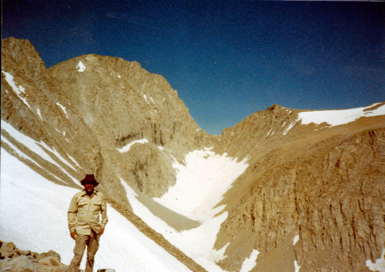
| The south side of Junction Pass (13,200'+) is just above the snow field at the top right of the picture. The Junction Pass trail skirts the right hand side of the snow field and works down into the snow filled gully in the center of the picture. Most of the trail still exssted on the south facing wall of the gully untill a cloudburst in 2013 erased most of it. When going south it is easier to just walk down the snow in the gully. Eventually you come down to a wooded flat area above the region on the Shepherd Pass trail called "The Pothole". The view NW from the top of the pass is magnificent. The picture was taken from the Sierra crest north of Shepherd Pass. Map. |