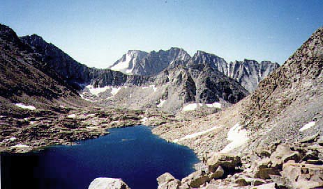
This picture of the north face of Mt. Darwin and the Darwin Glacier was
taken from Alpine Col. The lake below is
the lake immediately south of Muriel Peak. Alpine Col is a cross country
route between the Evolution region and Humphreys
Basin. The southeast side of the col is reached from the lower end
of Darwin Canyon and the northwest side via Muriel and Goethe Lake (the
west side of the lake is much the easiest).
The difference between a heavy snow year and a normal year can be seen
in this picture taken almost exactly
at the same time of year.