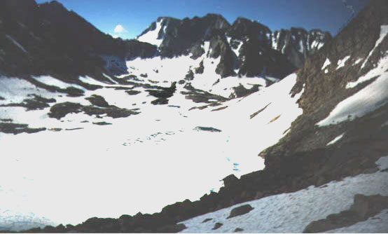
Alpine Col is a high route between Darwin
Canyon and Humphreys Basin. This picture was taken in early August
1998 (a very heavy snow year) looking south from the top of the col. Note
that the lake below the col is still frozen. The southeast side of the
col is reached from the lower end of Darwin Canyon and the northwest side
via Muriel and Goethe Lake (the west side of the lake is much the easiest).
The difference between a heavy snow year and a normal year can be seen
in this picture taken almost exactly at the
same time of year.