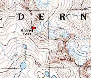
Ritter Pass
Ritter Pass is reputed to be the easiest
route across the Minarets. It connects Lake Ediza with the north fork
of the San Joaquin. The route that we used to reach the pass from the
west left the north fork trail at about the 7800' level and went east
across a
ridge
and then down to Dike creek at about the 8100' level (camping). Then
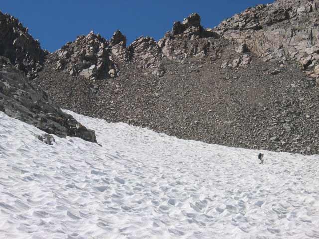
up the south side of Dike creek to the 9300' level where we crossed to
the north side of the stream and headed north east following a branch
of Dike creek. I recommend that from the last lake on this branch that
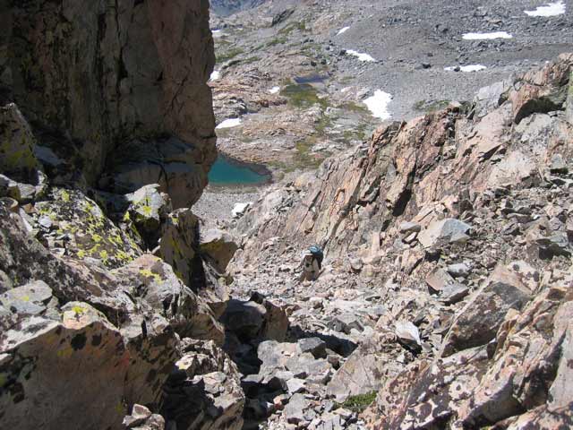
you do not headed directly to the pass, but stay lower
until you are under the left most chute. The direct route has an amazing
amount of very loose rock. In September of 2005 there was almost no sign
of travel on this route until reaching the chute leading to the top.